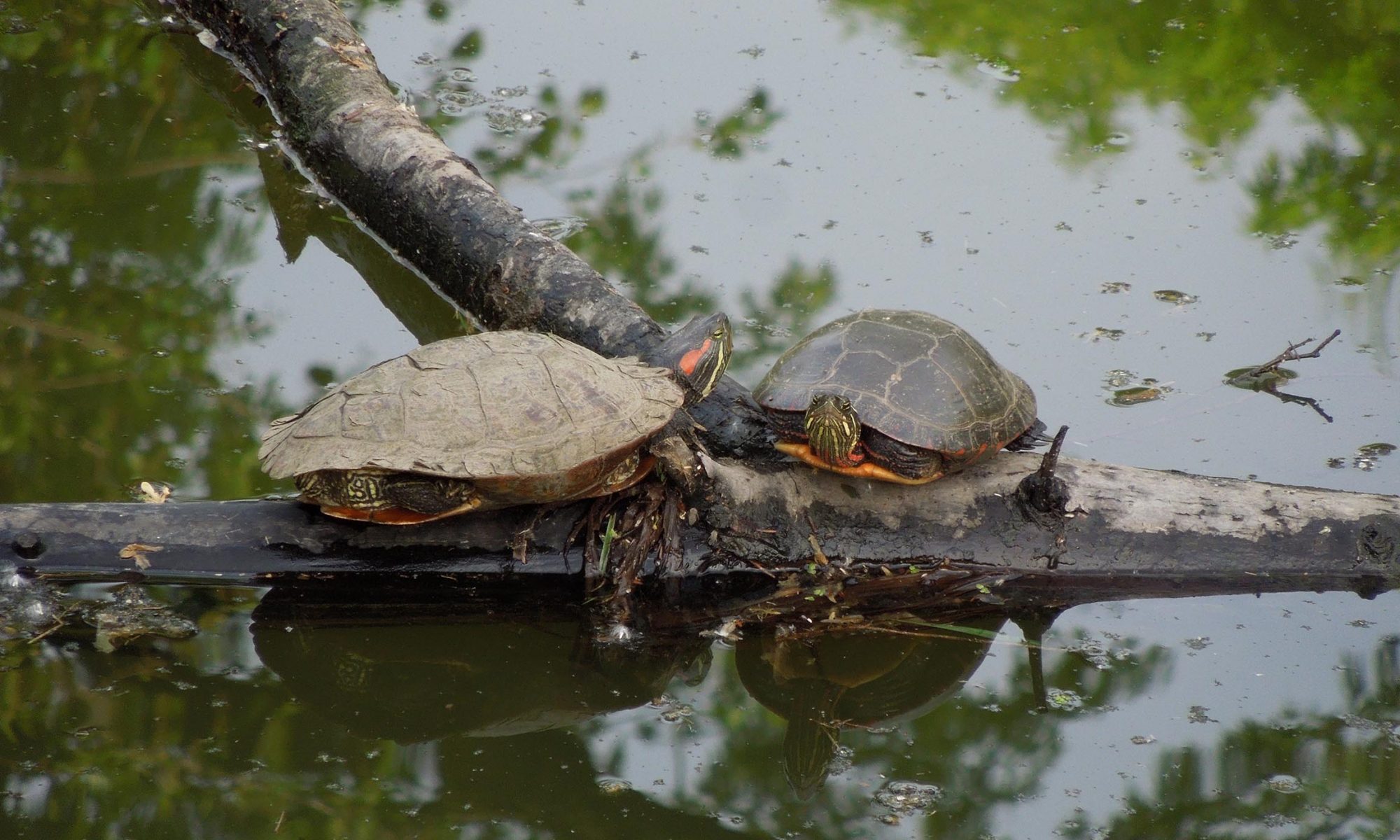
Ephemeral wetlands are shallow, depressional wetlands occurring
throughout the eastern and midwestern United States. Distribution
and abundance of ephemeral wetlands are often regarded as
indicators of overall ecosystem health and are especially important
to numerous species of plants and wildlife. In addition to their
biological importance, ephemeral wetlands play critical roles in
hydrology (surface water storage and groundwater exchange),
biogeochemical cycling, and energy exchange with adjacent terrestrial
habitat (via amphibian and macroinvertebrate production
and dispersal). Forested ephemeral wetlands are vital but are often
missed by remote sensing techniques used to build the National
Wetlands Inventory (NWI). The lack of detection is problematic
because forested wetlands are simultaneously the most abundant
and one of the most imperiled wetland types in the United States.
Differential protection due to detection biases present in NWI data
layers creates potential impacts on wetland abundance and diversity.
The variable hydroperiod of ephemeral wetlands means they
are only seasonally detectable using traditional aerial photointerpretation.
Additionally, ephemeral wetlands are often small and
not detectable with the resolution of photographs used by the NWI.
Our study’s primary purpose is to develop and refine a methodology
for detecting and cataloging these ephemeral forested
wetlands using Lidar (light detection and ranging). Lidar is a
remote sensing technique that provides a highly accurate model of
the earth’s surface. Where radar uses sound returns to determine
an object’s distance, lidar uses laser pulses and their return speed
to obtain a highly accurate 3-dimensional model of the environment.
Thus, the sensor’s light can penetrate tree canopies and other
vegetation structures that obscure the ground in aerial imagery.
This characteristic makes lidar more easily interpretable for elevation
mapping and provides a pathway for novel uses in remote
sensing. Our initial work will occur in southern Illinois, focusing
on ephemeral wetlands within the Shawnee National Forest. The
work will consist of ground-truthing known, and Lidar detected
wetlands to determine the Lidar model’s accuracy.
Once completed, the methodology and process can be expanded
wherever Lidar data exist, particularly in the Tollway region.
Depictions